Located in Bangli District at an average altitude of 1500 meters, Kintamani is believed to have formed 10,000 to 30,000 years ago. A huge caldera was created as a result of two volcanic eruptions with a diameter of 10 by 13 km. What we know today as Mt.Batur was formed in 1917, with many subsidiary vents around its flanks; the volcano is still active. Measured from the floor of the caldera it rises to a height of ca. 700 meter (1,717 meter / 5,633 feet above sea level).
The best time to reach and visit the area is shortly after sun rise as it is usually clear and wide with a beautiful view.
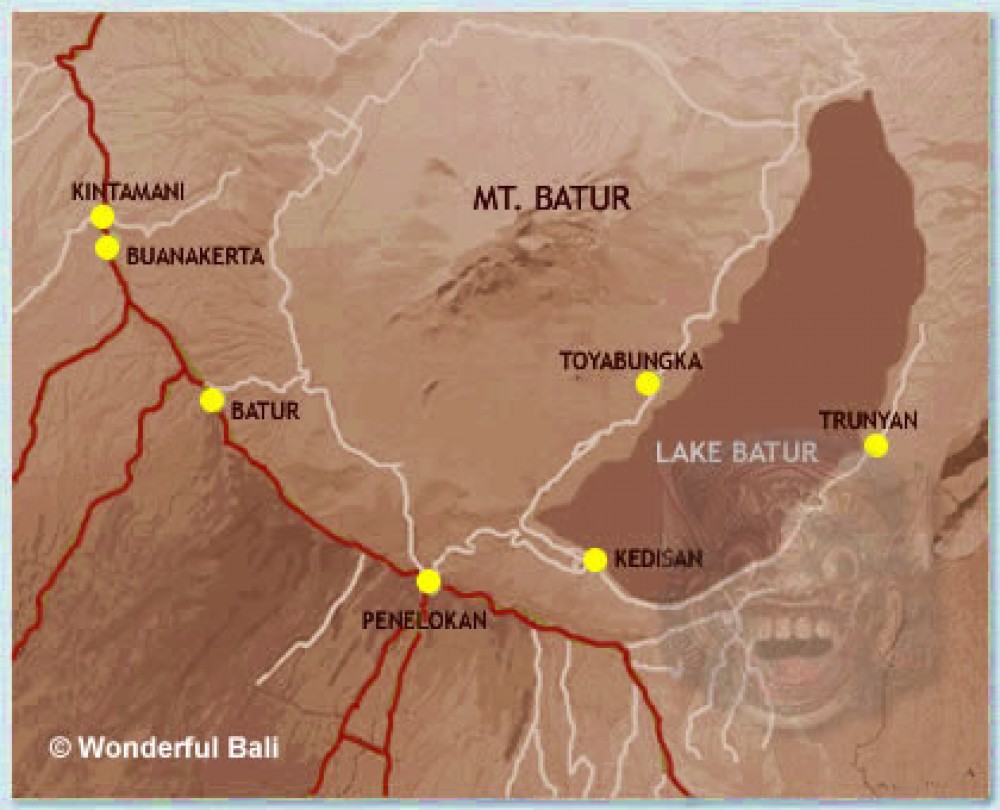
Some traditional villages are located around caldera of Batur and the shores of the crater lake. Kintamani is one of the highest village around the rim along with Batur, Buanakerta and Penelokan.The views are absolutely beautiful here, Penolokan has a lot of commerce. The souvenir sellers here are very persistent. So be prepared if you go there!
Trunyan, Toyabungka, Kedisan and Dukuh are the traditional villages located on the shores of the Lake.They have a traditional culture with ancient rites and customs. The original inhabitants of Bali "Bali Aga" reside here.
Dedicated to the Goddess of rivers and Lakes, Ulun Danu Temple of Batur is located here. The Goddess is known as Dewi Batari Ulun Danu. It is one of the most important temples of Bali.